
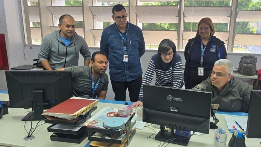
The Minister of People’s Power for Science and Technology, Gabriela Jiménez, reported that scientists from the Bolivarian Agency for Space Activities (ABAE) are deployed analyzing satellite radar images using InSAR (Synthetic Aperture Radar Interferometry) technology. This advanced technical tool allows for millimeter-precise measurement of the movements, displacements, and deformations suffered by the Earth’s crust following the intense seismic activity recorded in the country.
In a detailed post on her official account on Instagram, Minister Jiménez explained that the use of this system is fundamental for managing current crises:
«This tool allows us to understand seismic processes and assess earthquake risk by comparing images captured at different times,» the head of the science ministry stated, highlighting the role of Venezuelan space engineering in risk mitigation.
The process of technological monitoring generates a specialized deformation map known as an interferogram, which visually reflects actual geographic alterations through specific color patterns. According to the technical explanation provided by ABAE experts, each complete color cycle revealed on the map represents a physical displacement on the surface of approximately 2.8 centimeters.
Minister Jiménez specified that the assessments yielded crucial data on the behavior of the tectonic plates in the northern coastal region: “In the case of the San Sebastián seismic fault, the concentration and abrupt change of the color bands demonstrate the tectonic movement that occurred, information that is directly related to the seismic activity recorded in the last 24 hours and that helps estimate the intensity of the earthquake and its impact on the territory.”
«ABAE works in coordination with more than 13 international space agencies to study these phenomena before, during and after an earthquake, strengthening the monitoring and understanding of Earth’s dynamics for the benefit of risk management and the protection of the population,» he concluded.