The Bolivarian Government is advancing a cartographic survey in the regions affected by the recent torrential rainfalls in Venezuela. Through the Geographic Institute of Venezuela, aerial photogrammetric mapping is being carried out with drones to assess damage and reconfigure the national risk map, which is key for territorial planning.
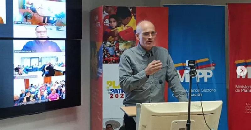
Ricardo Menéndez, Vice President for Planning, explained that this work allows for the identification of unstable areas, altered river courses, and affected slopes. The data collected will help redefine development strategies in vulnerable areas, avoiding future tragedies.
In addition, the Geographic Institute has a database of 11 million mapped properties, which facilitates technical decision-making. Menéndez highlighted the importance of adjusting the legal framework to prohibit construction in risk areas, following the call of President Nicolás Maduro.
As part of the complementary actions, the Plan of Massive Training in Popular Planning has trained more than 5 million people, promoting sustainable territorial management. These initiatives seek to integrate communities into prevention and urban planning.
The national government emphasizes that grassroots organization and technology are pillars for addressing the climate emergency. With tools such as digital mapping, it hopes to reduce vulnerabilities and ensure balanced development in the most affected regions.